
Susquehanna Township ZIP Code Coverage
Five ZIP codes intersect the verified Susquehanna Township delivery footprint: 17103, 17107, 17109, 17110, and 17111. They are postal geography, not five Township districts. USPS does not publish a static table that maps every Township parcel to these ZIPs. The practical record is address-specific. A postal city name can appear on an address inside Susquehanna Township, Harrisburg, Penbrook, Progress, Swatara, or another nearby municipality, so each parcel needs a separate jurisdiction check.
| ZIP | Areas covered | Postal label | Township note |
|---|---|---|---|
| 17103 | Southwest and city-edge area in official Township and state project material | Harrisburg | Crosses municipal boundaries; confirm the County Township field. |
| 17107 | Limited delivery area intersecting the Township service area | Harrisburg unique ZIP | Not a normal neighborhood key. Validate the exact address with USPS. |
| 17109 | Eastern and southeastern area in Township and area records | Harrisburg | Crosses municipal limits and does not establish a voter or ownership boundary. |
| 17110 | Municipal-office and Linglestown Road area | Harrisburg | The Township office uses this ZIP; not every 17110 address is in the Township. |
| 17111 | South and east boundary area in Township project and plan material | Harrisburg | Also serves other municipalities; check the parcel rather than the ZIP alone. |
The Township municipal office uses a Harrisburg, PA 17110 mailing address. Official Township agendas and project material also place Township locations in 17103 and 17111. Those examples show why a postal line cannot settle municipal identity. Note: Confirm any delivery ZIP in the postal lookup before addressing mail or making a geography claim from a ZIP alone.
Harrisburg Labels in Susquehanna Township ZIPs
Harrisburg is often the preferred postal city for a Susquehanna Township address. It is a delivery convention, not a municipal boundary. The County property card’s Township or tax-code field, the parcel map, and the Township ward or zoning tools are the reliable local checks. The ward map accepts an address to find the ward and commissioner. The zoning map accepts a Tax Parcel ID or property address and provides a parcel popup with the zoning district and ordinance link.
Susquehanna Township’s map page gathers the Street Map, Ward Map, Zoning Map, and Urban Wet Weather Flows Map before the image below. 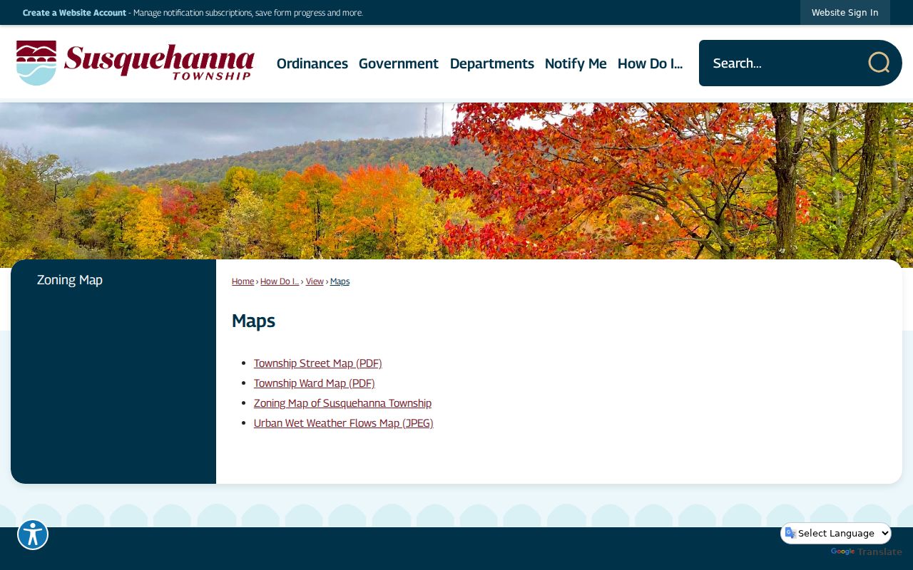
The map collection is useful after a ZIP code has narrowed the address to a postal area. It checks the parcel’s municipal geography, not a list of residents. County GIS is a reference resource, and the Township zoning instructions do not promise owner, sale, or automatic adjacent-parcel results. Pair maps with the County property record when a named owner or tax-contact field matters.
Check Susquehanna Township ZIP Codes at USPS
The USPS ZIP Code Lookup is the correct first check for a specific delivery address. It resolves an exact mailing address rather than publishing a complete Township-boundary roster. That distinction protects against a common error: treating a map of a ZIP area as proof that every address in the same ZIP belongs to the same municipality. Use the result for mail formatting, then verify the local government and parcel record through Dauphin County tools.
USPS provides the exact-address ZIP Code Lookup before the image below. 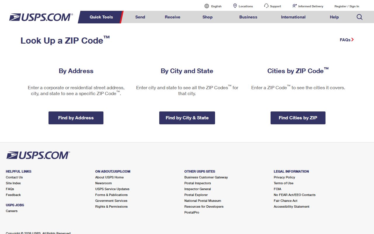
The USPS result answers a postal question. It does not prove the municipality, owner, or current household at the address. For a research trail, retain the full normalized mailing address shown by USPS, then compare its street spelling and number with the County property card and local map. This workflow is especially important along the Harrisburg city edge. Note: A USPS ZIP result validates delivery formatting, while municipal and parcel questions still require the County and Township records named above.
Susquehanna Township ZIP Code Search Workflow
There is no lawful one-click ZIP residents list for Susquehanna Township. The local record systems do not use ZIP as their main public search key. The County assessor portal has street, parcel, address, municipality, neighborhood, building, class, sale, and owner controls, but no ZIP field. Recorder Acclaim offers Municipality/Comments and UPI modes, not a public ZIP menu. The state voter status service uses county and identity information rather than ZIP. That makes an exact-address workflow more accurate than a broad postal-code search.
- Use USPS to validate the complete delivery address and ZIP code.
- Search the Dauphin County Property Tax Inquiry by street or address, with the Township municipality filter where appropriate.
- Record the parcel number or UPI, site address, and tax-year record without calling the owner or mailing contact a household list.
- Use the Township zoning map or County GIS entry point to confirm parcel geography and map context.
- Move the UPI, instrument number, book and page, or legal description to the Recorder only when a recorded-document question remains.
Once a ZIP code is narrowed to a named street, the address-level procedure belongs in the Susquehanna Township street directory. That route distinguishes site address, tax mailing address, recorded deed party, and historic occupant evidence rather than merging them into one result.
Susquehanna Township ZIP Code Record Limits
Knowing a ZIP can help normalize an address, but it does not change the observed public fields on the local portals. The table below records the controls that support the verified fallback after an exact postal address is known. It also makes the limitation plain: no documented local property, Recorder, or voter interface permits a public ZIP-wide resident search.
| System | Observed search control | How the ZIP is used | What the record can show |
|---|---|---|---|
| Dauphin Property Tax Inquiry | Street Name; House Number Low/High; Townships/Municipalities; neighborhood, class, year, and sale filters | No ZIP field | Tax parcels, owner, mailing/site fields, sales, and assessment panels |
| Township Zoning Map | Tax Parcel ID or property address; click parcel and flip popup panels | ZIP is part of a normalized address, not a search filter | Zoning district and ordinance context |
| Recorder Acclaim | UPI Number, Instrument#, Name, Book/Page, Doc Type, Record Date, Municipality/Comments, Alpha Index | No public ZIP menu | Recorded documents and index details |
| PA voter status form | First Name, Last Name, Dauphin County, Date of Birth | No ZIP field | Individual status and election-information context |
The status form is an individual self-service tool, not an address browser. Street lists and public-information lists have statutory access and use controls through elections authorities. A ZIP code should not be used to infer registration, ownership, or who lives at a particular address. Note: The absence of a search hit is not evidence that a person does not live in a postal area.
Susquehanna Township Parcel Keys After ZIP
A UPI, also called a parcel number or PIN, is the durable local key after postal validation. Dauphin County says every parcel has a UPI that identifies a separate tract, lot, or parcel. Since May 1, 2009, real-estate documents submitted for recording must place a certified tax parcel number on the front page. This can bridge the Devnet property card, the zoning map, the Recorder’s UPI search, and subdivision plans when a street name or number has changed.
- ZIP code
- A mail-routing code. It helps USPS deliver mail and may cross municipal boundaries.
- ZIP+4
- An added delivery detail used with a ZIP code. It does not replace a parcel or municipal-jurisdiction check.
- Unique ZIP
- A ZIP identified for a limited delivery purpose rather than a normal geographic neighborhood. Research identifies 17107 this way in the Township service area.
- Carrier route
- A postal delivery grouping. It is not a municipal boundary, property boundary, or resident list.
- Situs address
- The physical parcel location used by property cards, maps, and permit searches; it may differ from the tax mailing address.
The property card separates Site Address from Mailing Name & Address. The site identifies the parcel’s physical location. The mailing field tells the County where tax notices go and can be a post-office box, trust, agent, business office, or nonresident owner. Neither field is a full occupant roll. The Township interactive zoning map then checks geography by address or Tax Parcel ID.
Susquehanna Township ZIP Code Boundaries
ZIP code boundaries and municipal boundaries answer different questions. A Harrisburg postal label can serve a Township parcel, and the same ZIP can serve neighboring places. The County property card and the Township’s address-searchable map tools provide the municipality check. Do not rely on a school district, utility district, ward, or neighborhood name inferred from a postal code. Each has its own official locator or record system.
The Township’s dense capital-area setting creates this overlap. Postal labels, city directory titles, school and ward maps, and parcel geography often sit on top of one another without using the same line. A record can truthfully state Harrisburg as its mailing city and still require Susquehanna Township map or tax-code confirmation. That is a geography issue, not a contradiction in the historical record.
Old Susquehanna Township Street Names
A modern ZIP match cannot repair a historic road name. The Township street and sidewalk appendix is an official chronology of street openings, acceptances, vacations, and renamings. On September 14, 1953, Cherry Street became Herr and Boas Streets, Pine Street became Twenty-sixth Street, and Walter Street became Wilhelm Road. Later entries include the 1958 Dauphin Road and Ridgeway Road history, the 1959 Willow Street change, and the 1995 Ararat Boulevard Extension change to Vartan Way.
The official street appendix documents historic address changes before the image below. 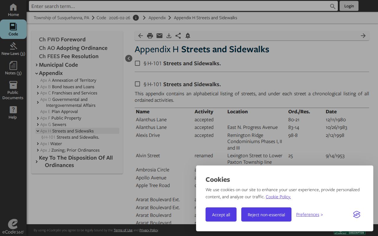
The appendix can create an old-to-new alias pair before a directory, deed, or map search. For historic work, use that pair with HSDC directory street sections and the Library of Congress Sanborn map sheet index. A street name on a 1950 document should be searched as it appeared then before it is tested against a current delivery ZIP.
Susquehanna Township ZIP Code Record Geography
The most reliable sequence is postal address to parcel, parcel to map, then parcel or legal description to the specific record custodian. Devnet supplies address and tax-record context. The Township map supplies local geography. The Recorder supplies recorded land documents. For a historic address, HSDC and DCLS city-directory resources add dated street and name context. Each source has a different purpose, and no postal path can turn them into a present household inventory.
Keep literal labels with the source: the ZIP and postal city from USPS, the municipality from the County parcel record, the UPI from Tax Assessment, the historical street name from the dated appendix or directory, and the document number from the Recorder. This modest record trail prevents a postal boundary from being mistaken for a property boundary or a resident identity claim. Note: When details conflict, compare the source date and purpose before deciding which field answers the question.