
Susquehanna Township Neighbors by Block
Public records describe parts of a block, not a ready-made roster of Susquehanna Township neighbors. The map establishes which parcels meet the focal lot. Devnet property cards then show the public site, owner, tax-mailing, sale, and assessment fields for an individual parcel. A recorded plan or deed can supply lot, block, subdivision, legal-description, or UPI evidence. Each source answers a different question and none converts an owner or tax contact into proof of every occupant.
| Block source | What it reveals nearby | Verified access and limit |
|---|---|---|
| Township zoning map and County GIS | Parcel position, surrounding lots, zoning, streets, and map context | Browse and click parcels manually; no automatic neighbor report or buffer tool was verified. |
| Dauphin Property Tax Inquiry | Public owner or tax contact, site, sale, and assessment information for each parcel | Public card facts; owner and mailing fields are not a list of occupants. |
| Recorder plans and deeds | Lot, block, subdivision, legal-description, UPI, and recorded transfer parties | Recorded party evidence; legal description is stronger than a street-number assumption. |
| Dauphin Elections controlled records | Lawfully available individual, street-list, or public-list information | Inspection and copying follow state restrictions, certification, and protection rules. |
| Historic directory and civic material | Year-specific address entries or voluntary and archival community context | Not a current roster and not evidence of membership by parcel alone. |
Start with the relationship between lots rather than a claimed relationship between people. A tax-card neighborhood label is an assessment classification. It may help group land characteristics or values, but it does not establish a civic-association boundary, a homeowner group, or a group of neighbors who live together. People without a title interest, adult family members, roommates, utility customers, and delivery recipients are not captured by a parcel-owner search.
Map a Susquehanna Township Block
The verified local method is deliberate and manual. Start with the focal property in the Township zoning map using its property address or Tax Parcel ID. Pan and zoom to the parcels that share a boundary or stand directly along the same short block. Click each selected parcel one at a time, note only the parcel ID, site address, and geographic relationship, then use the property portal for that particular parcel. The research did not confirm an adjacent-owner list, buffer, radius, or select tool on the Township map or County GIS landing page.
- Confirm the focal address and Tax Parcel ID in the Township zoning map or County map entry route.
- Pan or zoom to contiguous street parcels and identify each lot that is actually nearby.
- Open each parcel separately, then record its public site, tax card, and owner or mailing fields without assuming occupancy.
- Use the parcel ID, lot or block description, and plan details to check a Recorder document when the map relationship needs support.
- Keep a current block question separate from a historical directory question or a controlled election-record request.
The Township Ward Map provides an address-searchable geography check before assigning a ward or treating a Harrisburg postal label as municipal proof.
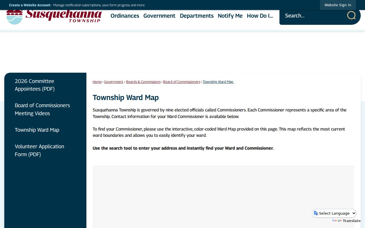
Ward context helps place a Susquehanna Township block, but a ward map does not identify a resident or determine an owner. For a full named-street record chain, use the Susquehanna Township street directory after the immediate parcel relationships are clear.
Susquehanna Township Neighbor Parcel Cards
The County property card supplies useful but narrow local evidence. Its visible fields distinguish `Owner Name & Address`, `Mailing Name & Address`, and `Site Address`. Those values may be the same or different. A separate mailing entry can reflect where tax correspondence goes, not where an owner lives. A site address identifies the parcel, not the people inside the building. Treat each as a labeled field with its own purpose.
| Parcel-card field | Block-level meaning |
|---|---|
| Site Address | Locates the parcel on the ground; it is not an occupancy roll. |
| Owner Name and Address | Shows the County’s owner and related address field for that property. |
| Mailing Name and Address | Shows a tax-contact field that can differ from the site. |
| Parcel number or UPI | Bridges the card to Recorder, map, and newer recorded-document research. |
| Sale, assessment, class, and tax year | Describes County property and tax information, not household composition. |
Plans, deeds, easements, and subdivisions often explain a short block better than an address alone. In the Recorder search, use a UPI, instrument number, book/page, document type, record date, or municipality field as appropriate. A plat is a recorded map of lots or subdivisions. A legal description is the formal land description in the record. Both can be more stable than a number that changed on a street.
Note: A parcel match gives a property relationship, while a current-neighbor claim needs lawful, independent, and date-appropriate support.
Susquehanna Township Neighbor Block Geography
Map-first work matters at the Harrisburg edge. Linglestown Road, North Progress Avenue, Union Deposit Road, Herr/Boas, Sixth Street, Twenty-sixth Street, and the Walnut Street corridor can carry a Harrisburg mailing city while lying across different municipal boundaries. The official ward map and zoning map should be checked before a nearby postal address is treated as proof that a parcel lies in Susquehanna Township.
The Township zoning map accepts a Tax Parcel ID or property address. After selecting a parcel, its popup panels and zoning-ordinance link provide land-use context. County GIS is a wider reference map and open-data entry point, but the County warns users that map products are for reference and carry no accuracy warranty. Match the map with the Devnet parcel and the Recorder’s legal description for a stronger block record.
Historic names can change the search path. The Township street appendix records Pine Street becoming Twenty-sixth Street and Cherry Street becoming Herr/Boas in 1953. An older deed, postcard, or directory may need the old and new names checked before a researcher concludes that the address is missing.
Note: A Harrisburg mailing city can cross municipal lines, so postal wording alone is not evidence of Township jurisdiction.
Susquehanna Township Neighbor Voter Records
Pennsylvania’s individual voter-status form is not a web browser for neighbors. It requires a person’s registered first and last names, Dauphin County, and date of birth in the name workflow, then reports registration status and election or polling-place context for that qualifying request. A no-match does not prove a person is not a Township resident, and the form must not be repurposed as a block list.
State law draws a separate line for street lists and public information. Under 25 Pa.C.S. §1207, registration records and street lists may be inspected during ordinary business hours under commission control. Section 1404 governs public-information lists and excludes electronic signatures and SURE registration numbers. The state voter-list form lists a $20 charge for a County or statewide export and requires identification plus a written certification for elections, political activities, or law-enforcement use. Voting history identifies participation, never ballot choices.
The Dauphin County Registration and Elections office is the local source for current procedure, copying cost, and any required certification.
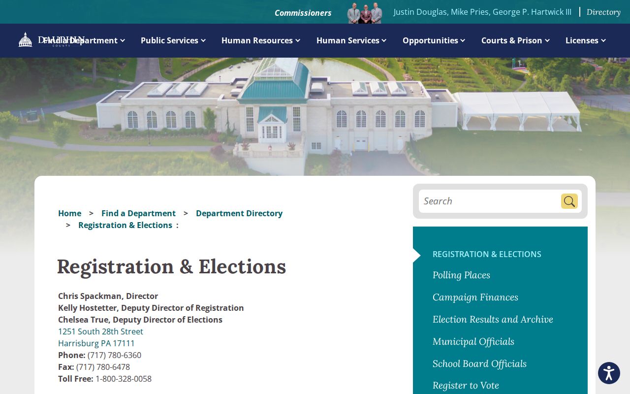
Ask the office how to follow the controlled street-list process. Do not reproduce a block voter roster, and do not infer anything from a protected voter, an Address Confidentiality Program participant, or a person who is not registered.
Susquehanna Township Neighbor Community Leads
Community material can add context without creating a membership list. The Township’s 2017 newsletter names the Harris Hills Civic Association as a Veterans Park Trail supporter alongside trail neighbors and the Capital Area Greenbelt Association. Historical records also identify the Wedgewood Hills Area Civic Association and Wedgewood Hills Swim Club. Riverbend Neighborhood Association appears in current property-listing material. The reviewed sources did not publish a current, official Township-wide association directory or resident roster.
| Community lead | What the documented material supports | What remains unverified |
|---|---|---|
| Harris Hills Civic Association | Township newsletter reference connected to the Veterans Park Trail project and CAGA. | No published member roster or current contact directory in the reviewed sources. |
| Wedgewood Hills civic and swim-club references | Historical legal and property-material context for an area association. | No current public neighborhood roster located. |
| Riverbend Neighborhood Association | Name surfaced in current property-listing material. | No official Township or association directory and no membership list located. |
| Historical Society collections | Township Lions Club, high-school, and other community collections can support dated research. | Archival collections are not current memberships and require librarian access. |
For a former neighbor, school activity, club connection, military unit, or family house, the Historical Society of Dauphin County recommends a collection, topic, and date approach. Its archives include local records, yearbooks, maps, family papers, and more. Voluntary contact with an association is the appropriate path for current community participation; neither a parcel nor an old item proves membership.
Note: An association name in a historic or property record establishes context only, not a current roster or a membership claim.
Historical Neighbors of Susquehanna Township
Old address questions need date-specific records. Historic city-directory volumes can have a street-number section in addition to an alphabetical name section, so ask whether the chosen year contains that second listing before requesting a volume. The Historical Society’s Harrisburg-area directory holdings and the Dauphin County Library System’s Harrisburg directory microfilm can be paired with newspapers, census, deeds, estate material, and cemetery or church records.
HSDC’s local directory run begins in 1839 and continues to 1999 with documented gaps. DCLS holds Harrisburg directories from 1861 through 1901 and a Patriot-News run from 1946 through 2015. These collections complement each other. They establish a dated address or household clue, not a current-neighbor list. The 1890 census loss makes directories, deeds, and newspapers especially useful around that period.
For the 1929 through 1950 period, the Library of Congress Sanborn volume explicitly includes parts of Susquehanna Township, Penbrook, Progress, Paxtang, and Swatara. Use its sheet index and secondary location carefully, because not every Township neighborhood appears on every volume.
Susquehanna Township Neighbor Privacy Limits
A neighborhood question has firm limits. Household composition, utility accounts, delivery records, DMV addresses, ballot choices, sealed court material, minor and victim information, and Address Confidentiality Program locations are not a public block directory. ACP participants may use a substitute address in voter, court, state, vehicle, school, marriage-license, and utility records. Never try to infer, reverse, or defeat that protection.
| Official record approach | Commercial neighbor-tool category |
|---|---|
| Shows a labeled record with a County or state custodian, date, and access limit. A parcel card and deed can be checked against their original office. | May combine varied data with identity and coverage errors. A result cannot replace a County parcel, recorded title, controlled election record, or voluntary community source. |
Use a known official record to request a correction from the office that maintains it. The Recorder, Office of Tax Assessment, Elections Office, and relevant court each control their own records. Pennsylvania’s Right-to-Know Law does not override protected data or require a custodian to compile a new block list.
Lawful use. Use Susquehanna Township neighbor records for personal, lawful research and verify important facts with the custodian. Stalking, harassment, intimidation, or publishing information to harm someone can violate Pennsylvania law.